
If you’ve ever looked at a map and felt like the landscape was coming off the page, chances are you were looking at a hillshade-enhanced map.
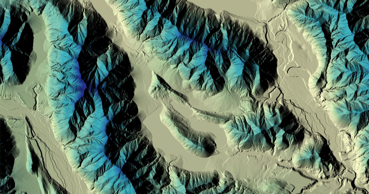
Hillshade is a powerful tool in QGIS that simulates how light would cast across the terrain from a specific angle. It is derived from a Digital Elevation Model (DEM), a dataset that represents the earth’s surface in three dimensions. When applied effectively, hillshade adds texture, contrast, and realism to your maps. It helps you and your audience interpret the shape of the land more intuitively.
Why Use Hillshade?
Without hillshade, aerial basemaps can appear flat. That might suit some applications, but when you are working with natural landscapes, especially areas with varied topography, hillshade can make all the difference. It brings out ridgelines, valleys, river terraces, and subtle terrain changes that might otherwise go unnoticed.
When you layer hillshade beneath aerial imagery, it helps tell a clearer visual story about the land. If you also include a multi-coloured DEM, which assigns colour gradients to different elevation levels, it becomes even easier to understand how the terrain rises and falls.
When (and When Not) to Use It
There is a time and place for hillshade. Sometimes a clean and minimal map is what you need, especially if the focus is on infrastructure, boundaries, or specific datasets. But when the goal is to showcase the land itself, whether for environmental storytelling, land management, or spatial planning, hillshade offers a level of visual clarity that aerial imagery alone cannot provide.
It is also satisfying to see a map gain depth and realism with just one additional layer.
See It in Action
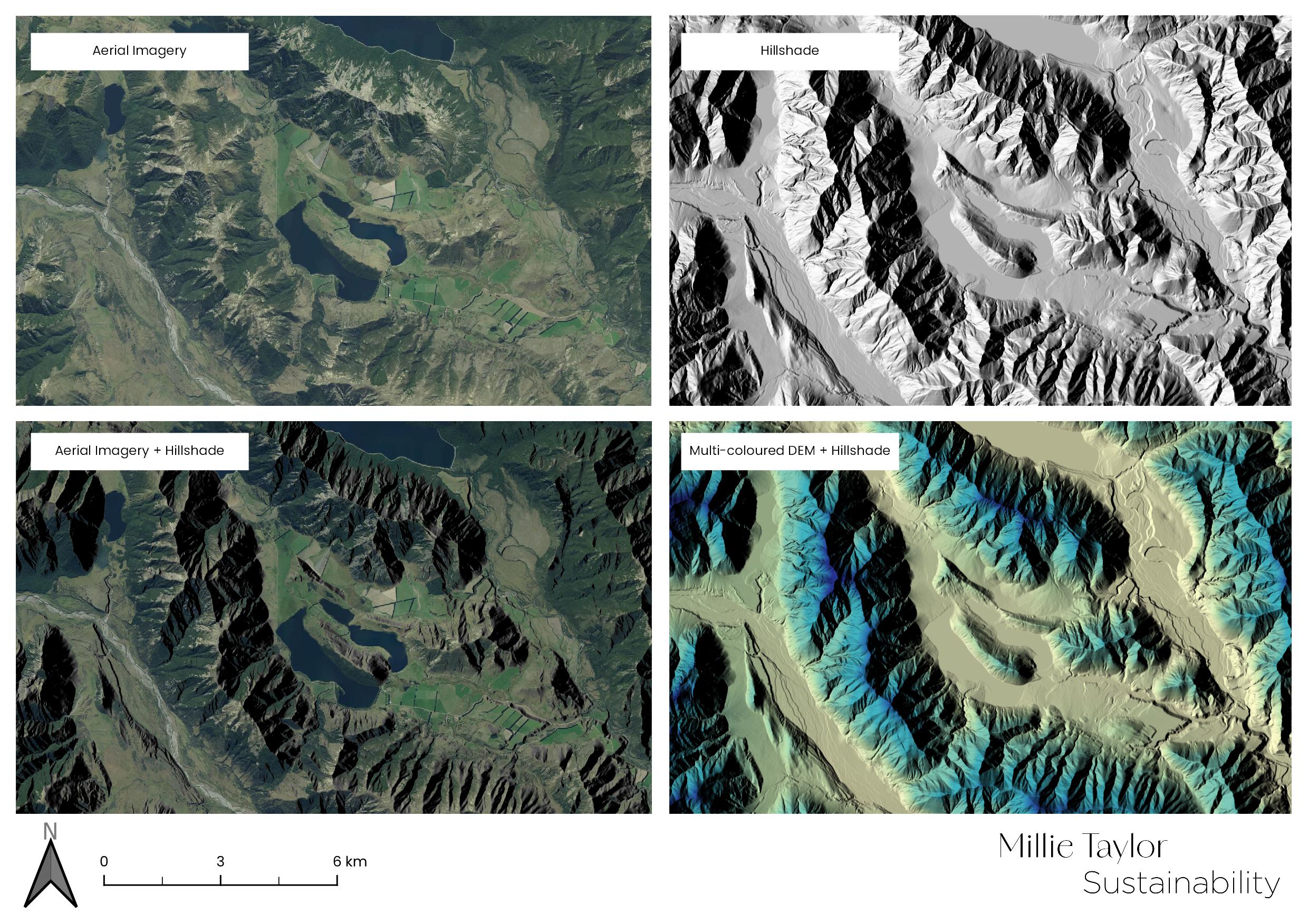
To demonstrate, I have created a sample layout with four map views. It shows how hillshade and DEM layers can work together to enhance your basemaps. You can explore how each layer changes the overall feel and function of the map.
If you are working in GIS and curious about how to get started with hillshade, or if you want help making your maps more visually engaging, I am always happy to share tips or examples.
Get in touch if you’d like to explore how these visual layers can help communicate your environmental work more clearly.